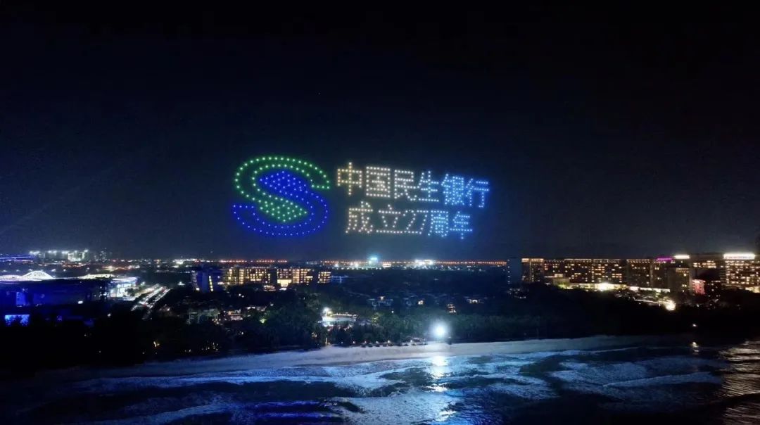



FLYRED | Helps create a complete unmanned application solution for the industry
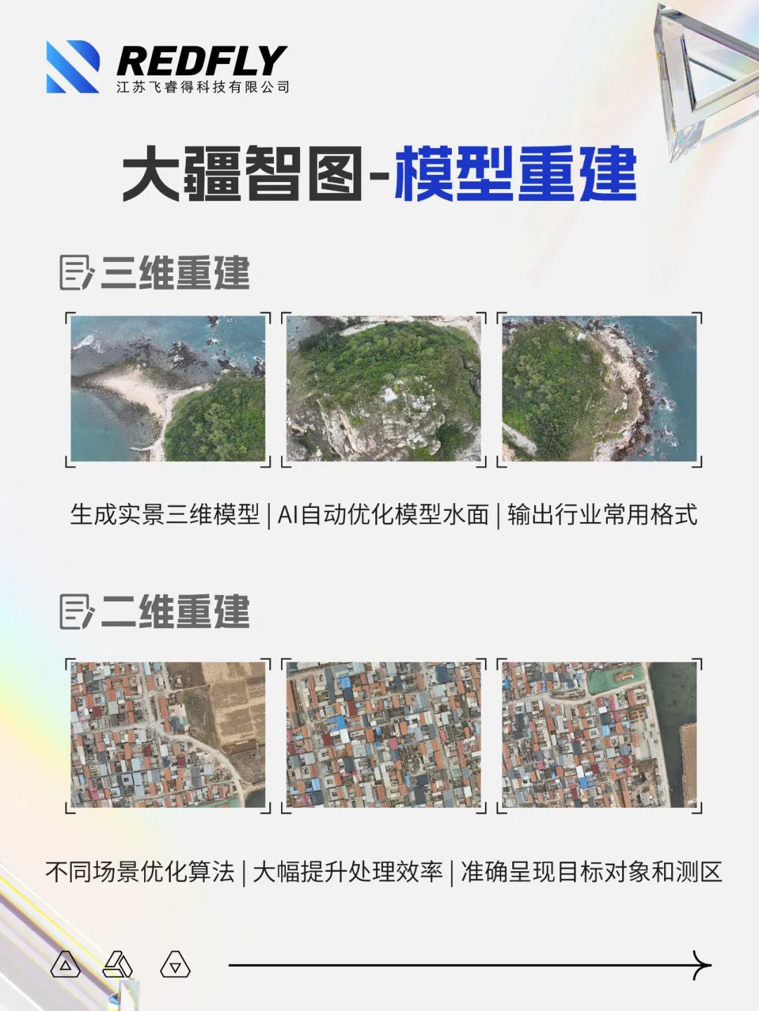
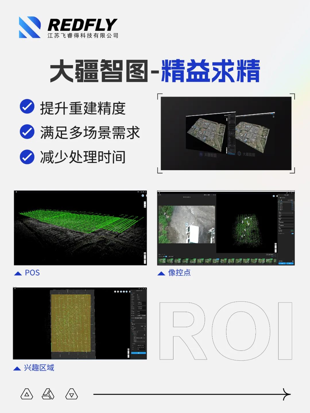
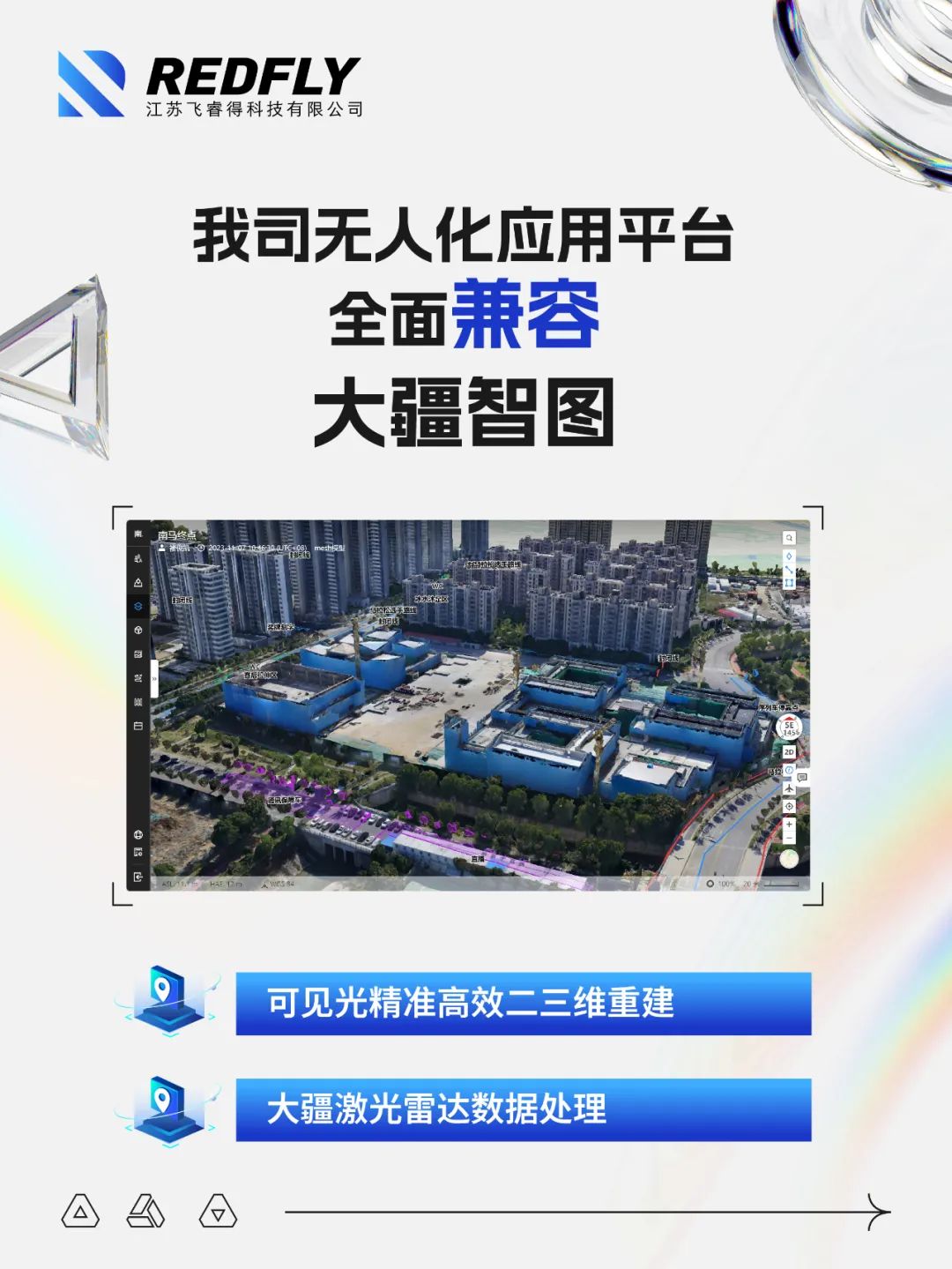
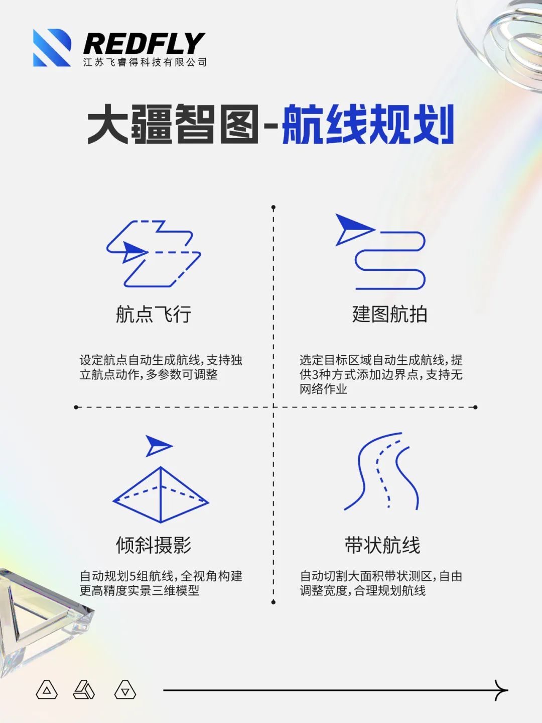
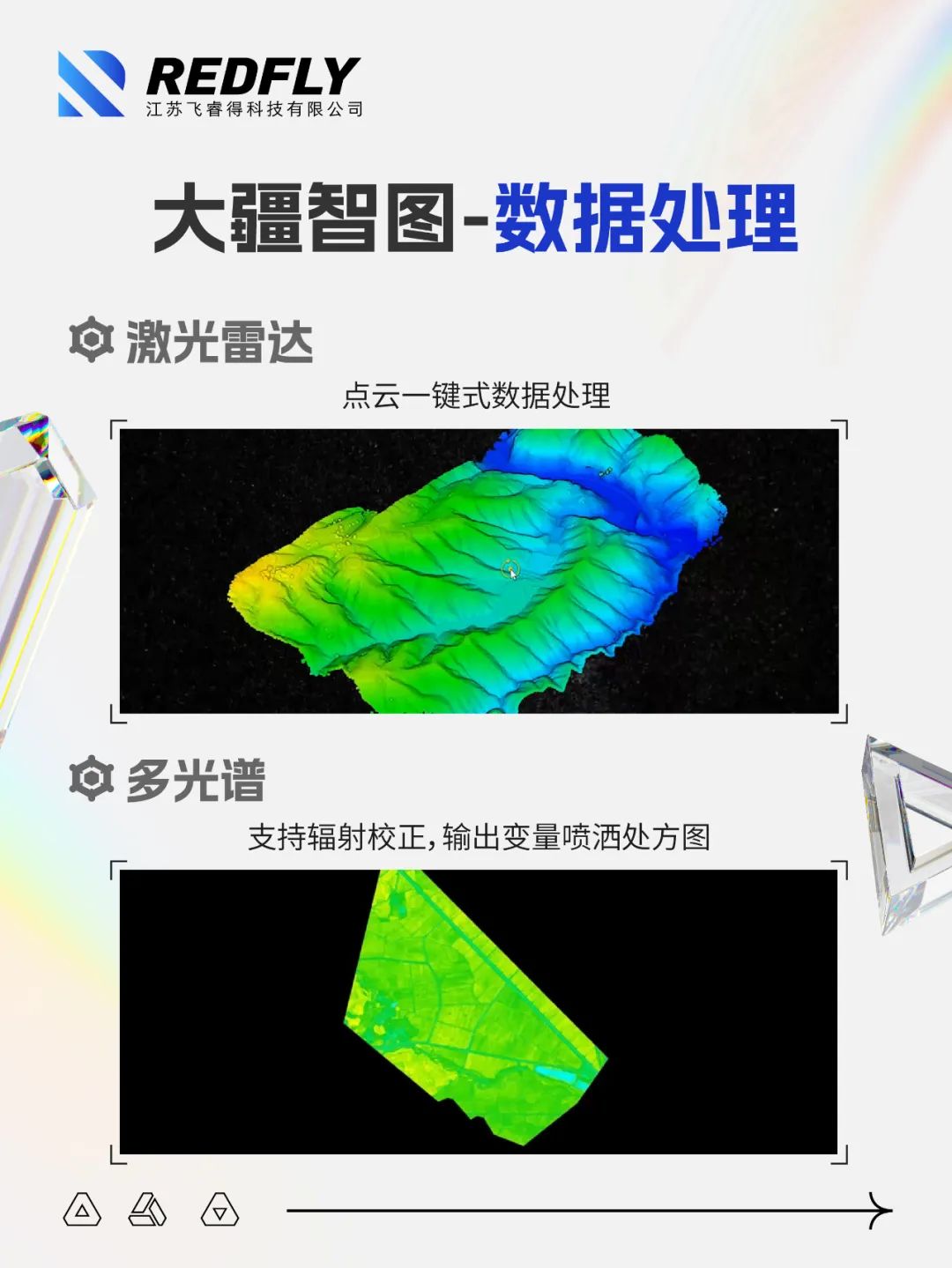
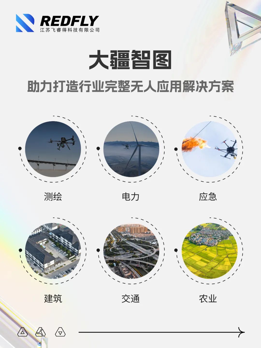
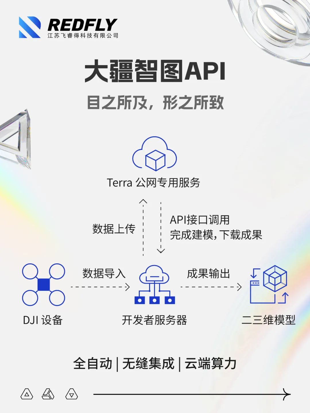
Our unmanned application platform is fully compatible with DJI Zhitu. DJI Zhitu is a 3D reconstruction software with photogrammetry technology as its core, which can support accurate and efficient 2D and 3D reconstruction of various visible light and data processing of DJI LiDAR. DJI Smart Map can be perfectly matched with DJI industry drones and payloads to form a complete application solution for vertical fields such as surveying, electricity, emergency response, construction, transportation, and agriculture.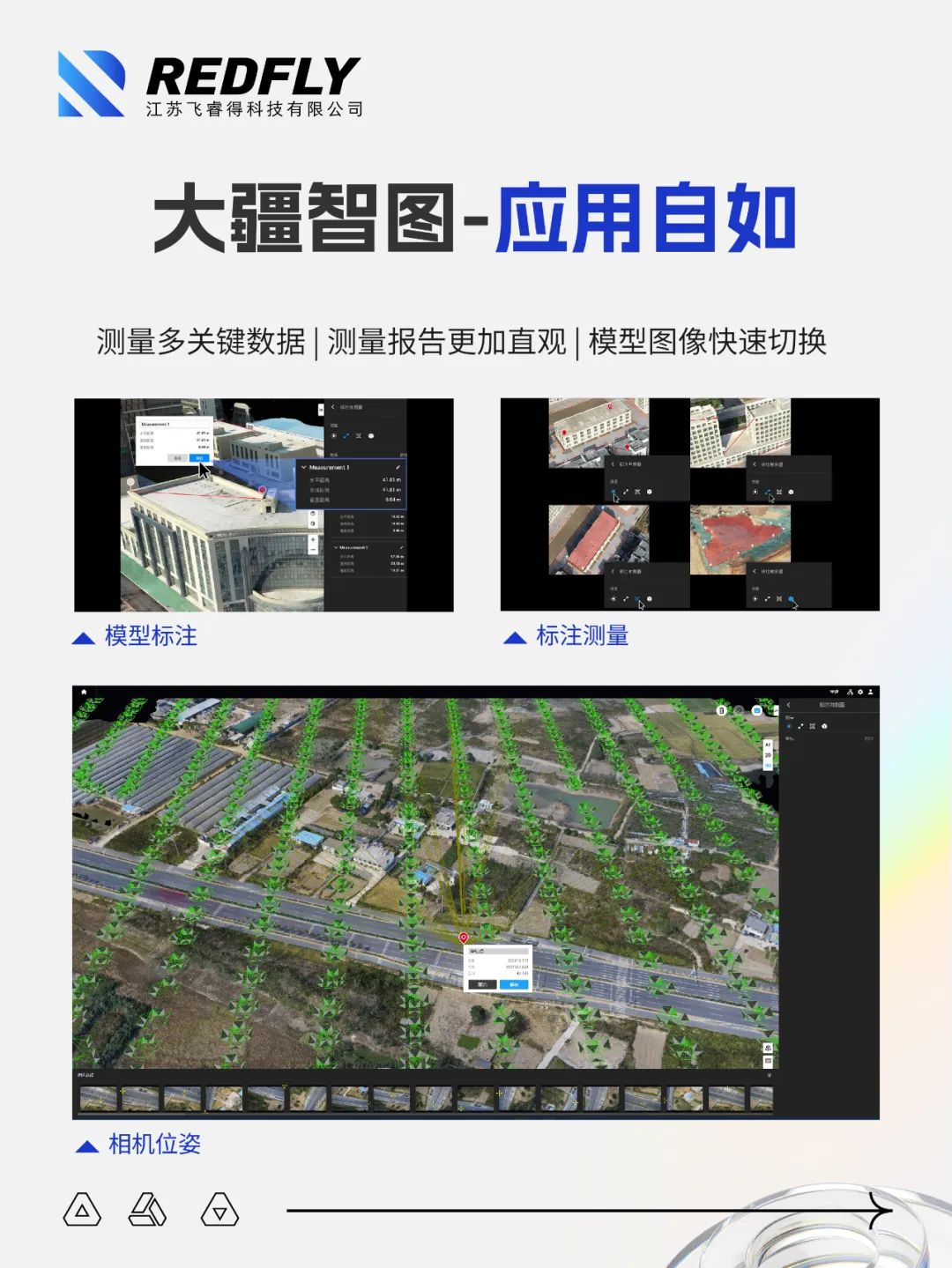
分享